Historical Maps of Lady Bay
When did houses start to appear in Lady Bay?
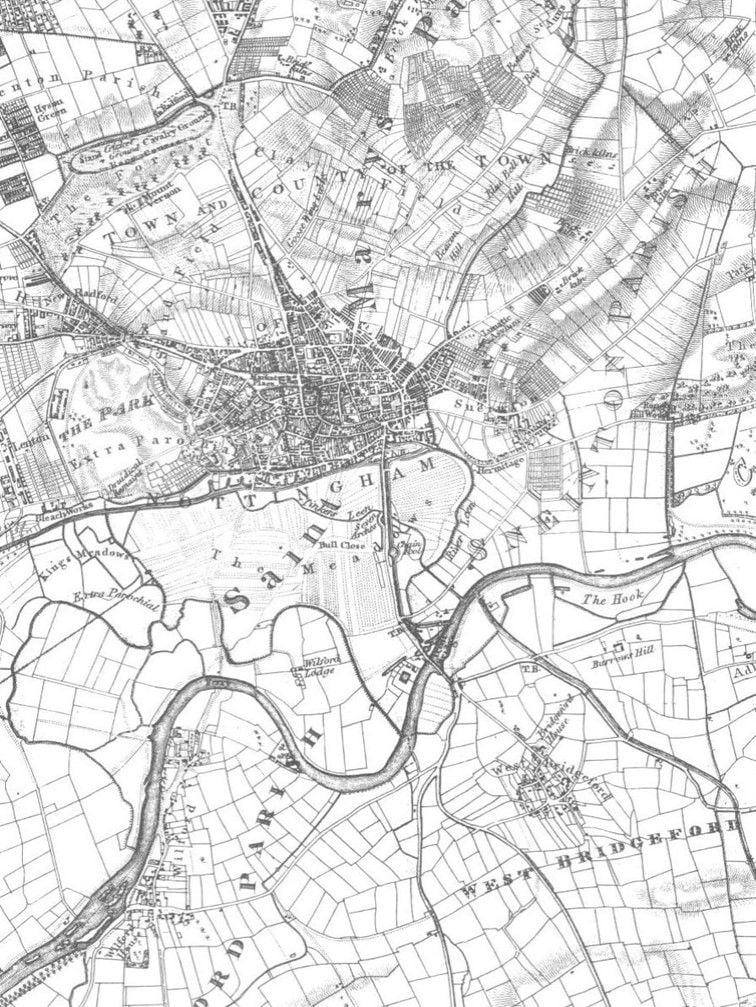
1835
Sanderson's map of the Hook, 1835, shows (bottom-right) that, in those days, this was all fields! In fact it looks like Lady Bay is almost as big, now, as Nottingham was then.
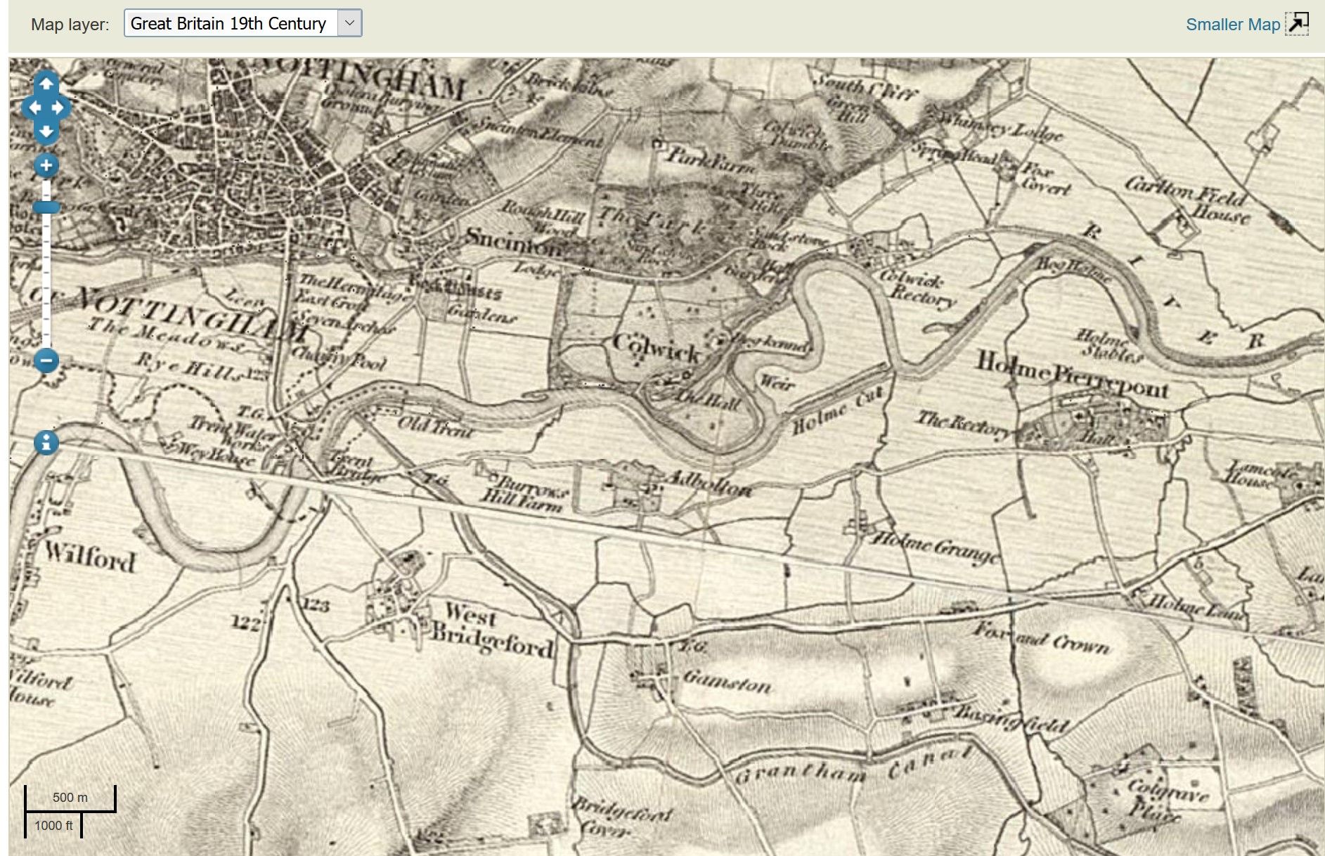
The second map shows a wider perspective, including the old course of the Trent. We can all speculate exactly where Burrows Hill farm used to be. Pity we are on the 'join' of two map sheets but isn't it always the way?
Scroll down for later maps, showing how Lady Bay developed.
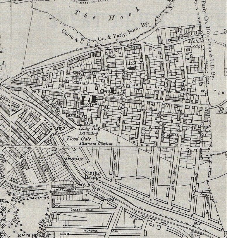
20th Century
In the early part of the 20th century, Lady Bay is a work in progress but already quite a transformation. That swing bridge looks a good idea, if we ever want to reopen the canal (there's a photo of it on our main History page).
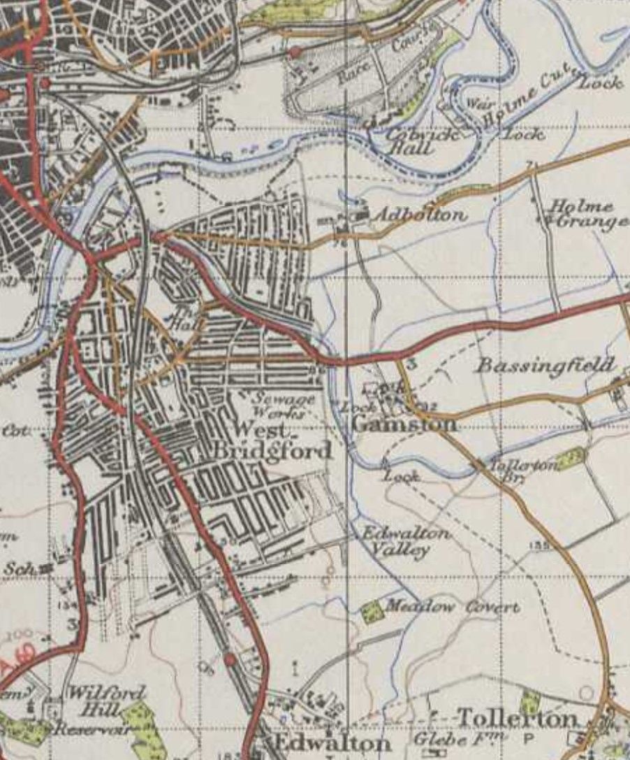
By 1945 (second map) it is almost complete. Just the end of Mona Road to go.
This link takes you to a site containing a large number of historical maps of our and indeed any UK area, going back to the early 19th Century, complete with Google Maps overlay of the current appearance! Curiously it is curated by the National Library of Scotland. Zoom and enjoy!
https://maps.nls.uk/geo/explore/#zoom=13.071516692546153&lat=52.95392&lon=-1.15459&layers=6&b=1